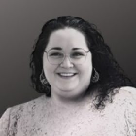
Florida, United States •
Request Pricing
About
My sessions are built on real-world experience, not theory. I’ve supported emergency operations during major disasters, where GIS directly impacts decision-making under pressure. That perspective shapes everything I teach. I focus on helping organizations bridge the gap between data and decisions, especially between technical teams and leadership. Rather than lectures, I design interactive sessions that challenge assumptions, improve communication, and give attendees practical tools they can use right away.
Beyond the Map: How GIS Builds Trust, Saves Lives, and Shapes Resilient Communities
In this powerful session, Carley Fitzgerald explores how GIS is more than just data on a map—it’s a decision-making tool that builds public trust, improves equity, and supports life-saving operations in real time. Drawing from her frontline experience during hurricanes and pandemics, Carley shares how compassion and clarity in GIS can change outcomes in moments that matter most.
Bridging the Gap: Translating Spatial Thinking for Emergency Managers
Emergency managers don’t need to be GIS experts to benefit from spatial thinking. This session demystifies geospatial tools and demonstrates how to integrate GIS into Incident Command, planning cycles, and public safety workflows. Ideal for EM professionals and decision-makers looking to build stronger partnerships with GIS teams.
Human-Centered GIS: Leading with Empathy in Tech-Heavy Roles
Technical expertise is essential—but it’s not the whole story. This session explores the human side of GIS: how emotional intelligence, empathy, and advocacy can elevate teams, empower communities, and drive cultural change in technical spaces. A perfect session for GIS professionals looking to lead with heart as well as skill.
Your perspective matters!
What was it like engaging with Carley?